Protecting your time.
Protecting your budget.
Protecting your investment.
We capture the real world and turn complex data into usable models, plans, valuations and project intelligence.

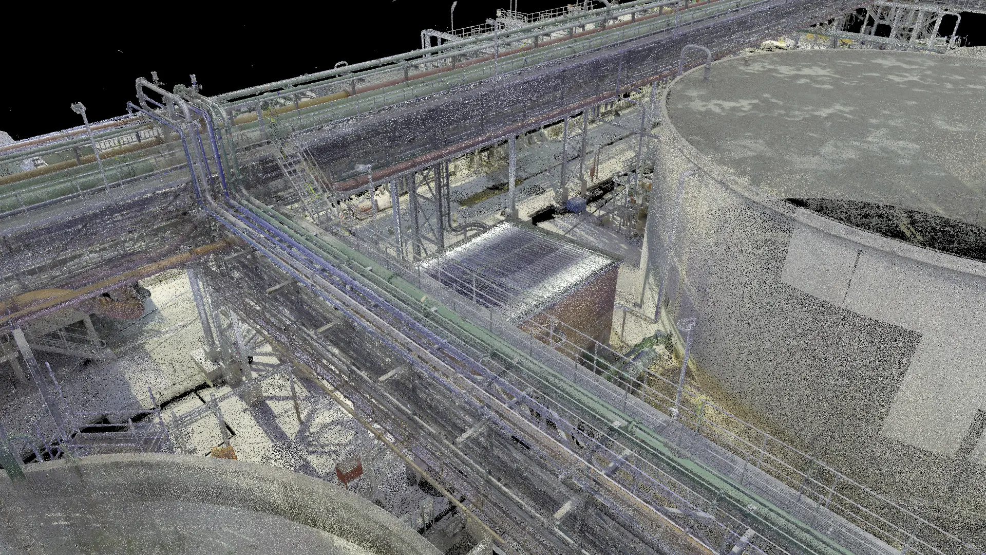
Move the slider to compare captured points with the model.
Industrial scan-to-CAD example.
See clearly. Decide sooner.
Give your team usable information and reduce repeated site visits, missing details and avoidable rework.
Know where the money goes.
Connect quantities, progress and payment claims to measured work and professional cost advice.
Keep the full picture.
Retain a record that supports handover, maintenance, future changes and long-term asset decisions.
From captured reality
to practical control.
Specialist processing, professional judgement and project support, brought together around the decisions you need to make.
Reality capture & mapping
Know what is there. Capture a measured record of buildings, industrial assets, sites and infrastructure.
02 / PROCESSData processing & modelling
Turn large, complex datasets into information your project team can use.
03 / DESIGNPlans, architecture & engineering
Give design and technical teams a reliable view of existing conditions and proposed work.
04 / VALUEQuantity surveying & valuations
Understand what the work should cost, what has been completed and what remains to be paid.
05 / VERIFYProject intelligence & control
See actual progress and address deviations while there is still time to act.
06 / MANAGEAsset information & lifecycle planning
Keep the record useful after the project ends.
Start with the decision.
Build the right evidence.
A beautiful model is only useful if it helps you answer the real question.
What do you need to know?
Agree the decisions, professional outputs and level of detail before collecting data.
Record the reality.
Capture the relevant site conditions and bring existing drawings and records together.
Make the information useful.
Process, check, model, measure and assess the information through the right specialists.
Decide with confidence.
Use the plans, costs and findings to act, then update the record as conditions change.
Useful deliverables. Agreed accuracy. Clear responsibility. A record you can return to.
See how we work ARCHITECTURAL PLAN · ILLUSTRATION
The detail behind
better decisions.
Compare a scan with a model. Compare one site visit with the next. See the information behind a design, a quantity or a payment recommendation.
- Industrial scan-to-CAD and digital records
- Before-and-after aerial progress comparison
- Illustrative 3D construction-monitoring concept
A digital record
of the real world.
Our ambition reaches beyond individual projects: to help build useful digital records of African places, assets and infrastructure through large-scale capture and open-data collaboration.
Explore the visionA visual compendium
of the physical world.
From a single building
to a connected landscape.
For owners, operators, investors and professional teams working with complex physical assets.
Safer infrastructure.
Stronger communities.
Safe roads, dependable infrastructure and effective emergency response help people live, work and build their futures with confidence.
Black Sable™ FOUNDATION connects communities and business partners around shared priorities, bringing resources and expertise together for practical improvements that strengthen resilience.
As part of the Black Sable family, Black Sable™ ATLAS shares this focus on safer infrastructure and stronger communities.
Explore Black Sable™ FOUNDATION’s workWhat do you need to know?
Tell us about your property, project or dataset. We will help define the information and professional support you need.