Selected work & demonstrations

See the evidence.
Understand the difference.

Explore how captured information becomes a useful project record through industrial modelling and repeat site surveys.

01 / Industrial capture & modelling

From scan
to industrial model.

Complex pipework, equipment and walkways can be recorded as a point cloud and developed into a CAD model for planning, coordination and engineering work.

This example shows the captured points alongside the model. Move the comparison slider to inspect both views.

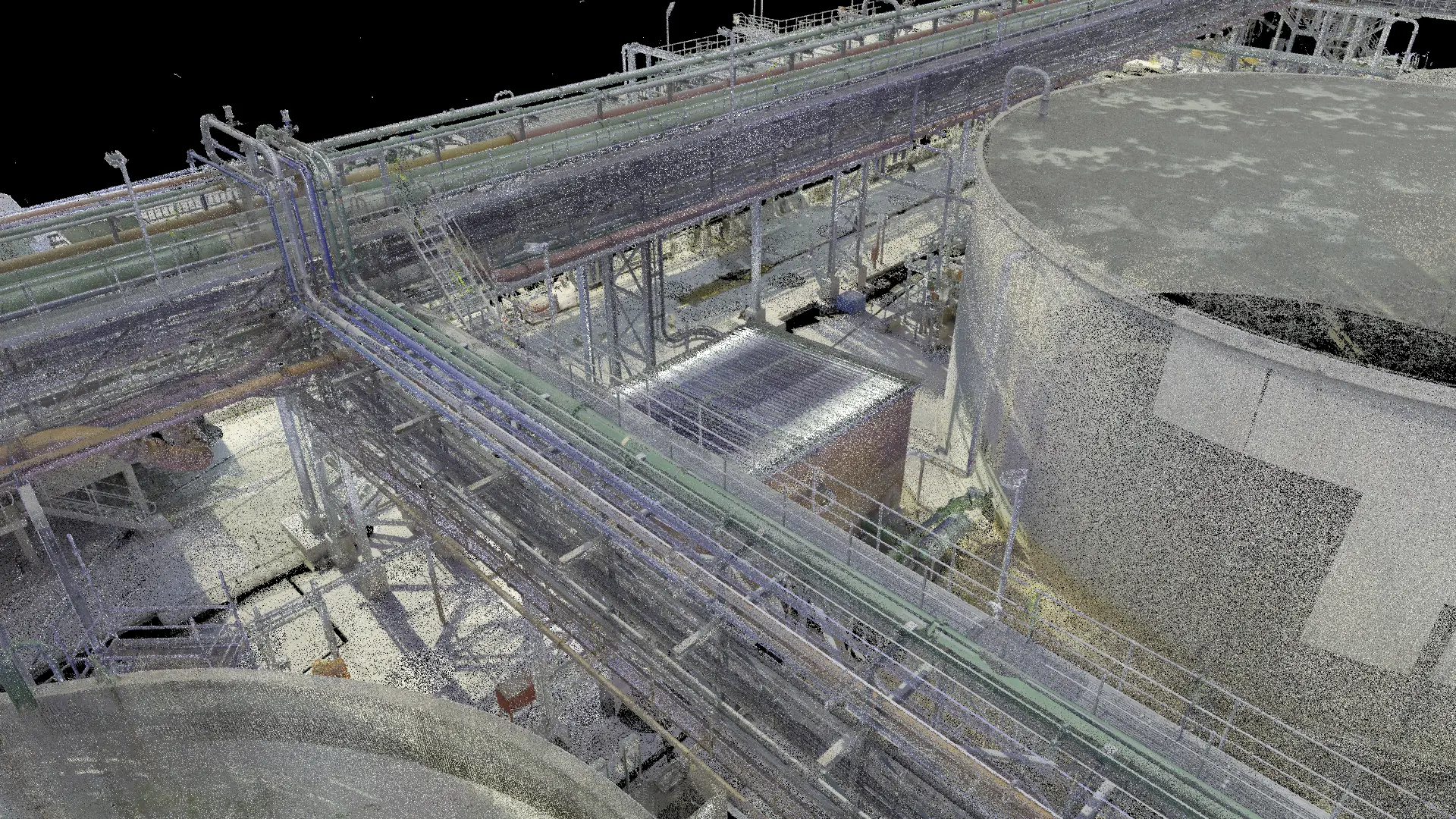
cad model of the same site
point cloud of the same site
POINT CLOUD / CAD MODEL
POINT CLOUDCAD MODEL

Industrial point-cloud and CAD comparison.
02 / Aerial progress monitoring

Make progress
visible.

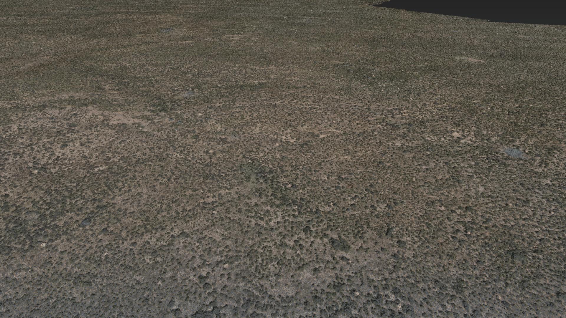
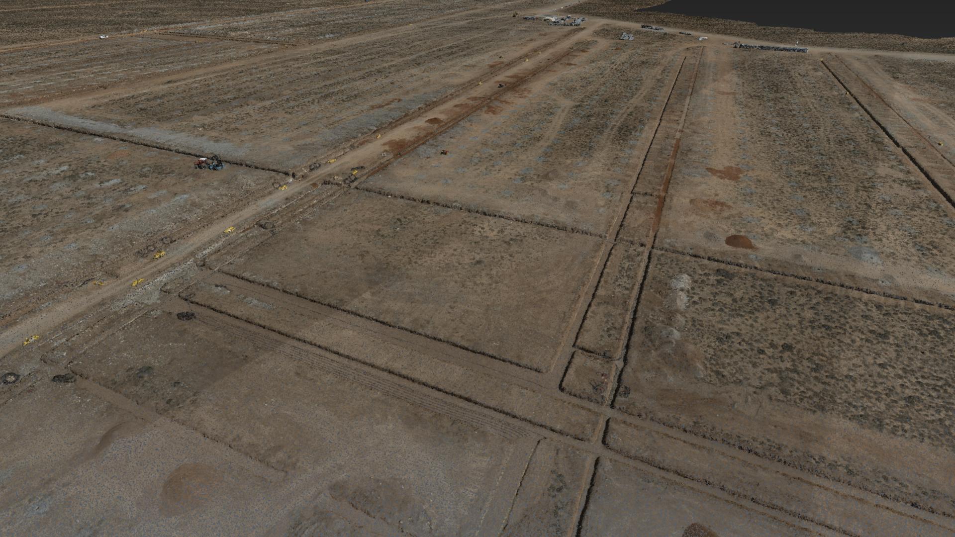
Repeat aerial capture creates a dated view of changes across a site. It helps project teams compare construction activity and understand progress over time.

These aerial views record changes across a solar-project site. The comparison illustrates visual change; a certified progress or payment assessment requires the underlying survey and professional review.

later capture of the same site
earlier capture of the same site
EARLIER CAPTURE / LATER CAPTURE
EARLIER CAPTURELATER CAPTURE

Solar-site progress comparison · Earlier and later capture.

03 / Illustrative concept

A site record
you can revisit.

Explore how a series of 3D surveys could be compared over time, viewed by level and used to highlight change.

This is the supplied viewer concept using a generated sample building. It is a demonstration, not a live client scan, certified measurement tool or available client platform.

Open the demonstration ↗
Start with your next decision

What do you need to know?

Tell us about your property, project or dataset. We will help define the information and professional support you need.

Discuss your project